Desktop app
Review DJI recordings beside a synchronized 2D map, toggle Picture-in-Picture, mark In–Out passages, tune map styling live, and export overlays or tracks.
Explore desktop appOpen source · DJI telemetry & flight maps
Drone Path reads telemetry from DJI recordings and renders synchronized 2D flight-path map videos, exports clean GPS tracks, indexes local footage libraries, and exposes post-flight tools over Model Context Protocol.
npx drone-path "my-flight.mp4"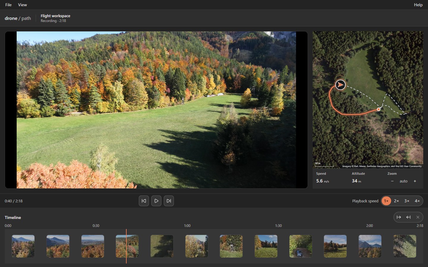
Site preview: This initial release establishes the structure and visual system for dronepath.dev. Full guides and reference tables are being reviewed for publication—use the links below or the GitHub repository for complete documentation today.
Architecture
Use the graphical desktop app for visual review, the CLI for batch pipelines and spatial indexing, or the stdio MCP server for AI-assisted culling.
Review DJI recordings beside a synchronized 2D map, toggle Picture-in-Picture, mark In–Out passages, tune map styling live, and export overlays or tracks.
Explore desktop appBatch-render map videos, extract targeted keyframes, export GPX/GeoJSON/KML tracks, and search local footage by coordinates, camera gaze, or shot smoothness.
Explore CLI & archiveRun a root-confined stdio JSON-RPC 2.0 server so AI agents can query flights, inspect telemetry snapshots, extract frames, and export NLE markers locally.
Explore MCP server